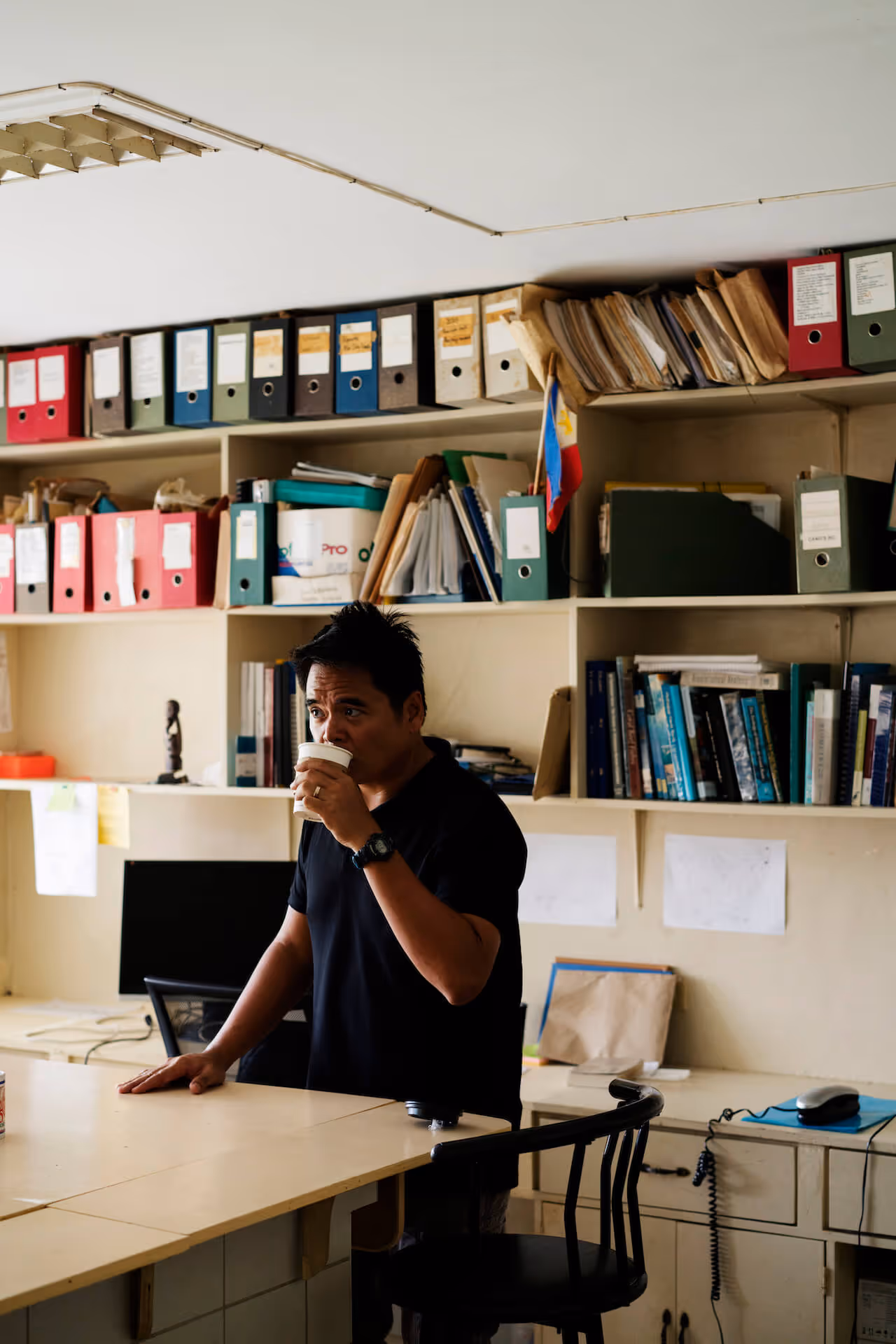
The GRID Expedition series was born out of a question: What would it be like to travel with outdoorsmen, conservation experts, and environmental advocates? Whether on wheels, on foot, or on boat, following their tracks brings us out on some of of our greatest adventures, with the highest stakes.
Today, we needed to get a feel of the cars as it was the first time we were driving them. They were really nice on the highway; really smooth. And of course, TPLEX is really opening up the North as far as travel goes.
We all agreed that the first stop would be liempo. There’s a small roadside eatery called Robia and Arby’s just in front of the Coca-Cola plant in San Fernando, famous for liempo and lechon. The perfect way to end a six-hour drive to La Union from Manila is that wonderful, juicy liempo.
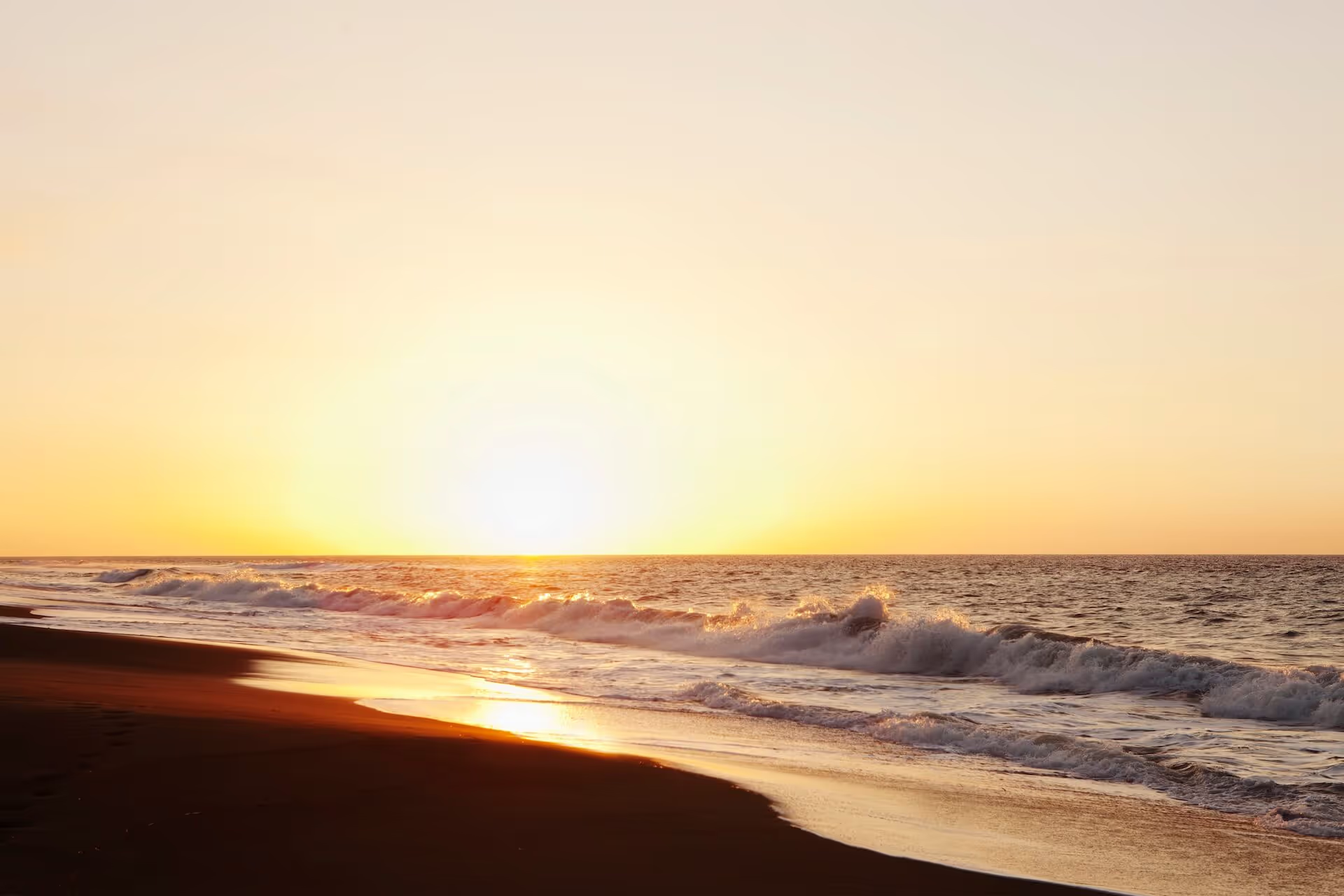
Day One was mostly about prepping for the expedition, as it was just the GRID team—Nayna, myself, Miguel, and Carmen—driving. We took the opportunity to prep our gear and spread everything out for testing: We did a drone flight test, we took test pictures of La Union beach. This day was really the GRID team gearing up mentally to meet the team from the Cordillera Conservation Trust (CCT) the next day.
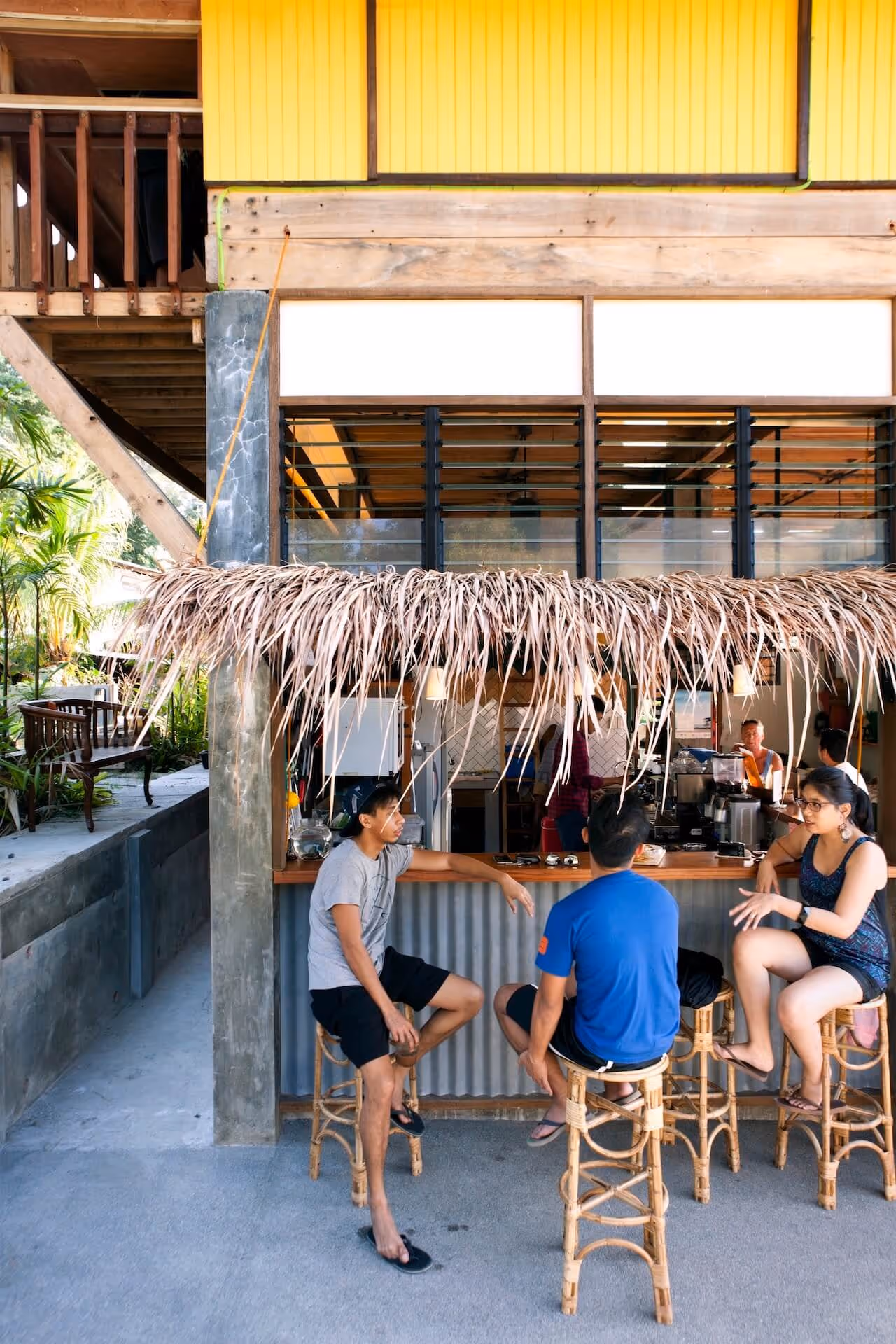
It was a nice drive, and you can see why La Union is becoming what it is because of places like El Union, Flotsam and Jetsam, and Urbiz Garden. You really see that the spirit and character of La Union is coming together to become a very important tourist destination, especially for Manileños.

Day Two had a very early start: today, we were driving up to Baguio from La Union via Naguilion road—much shorter than Kennon road. Our team was still feeling each other out; trying to figure how everyone else traveled and how they drove. We were meeting with the outdoorsmen soon.
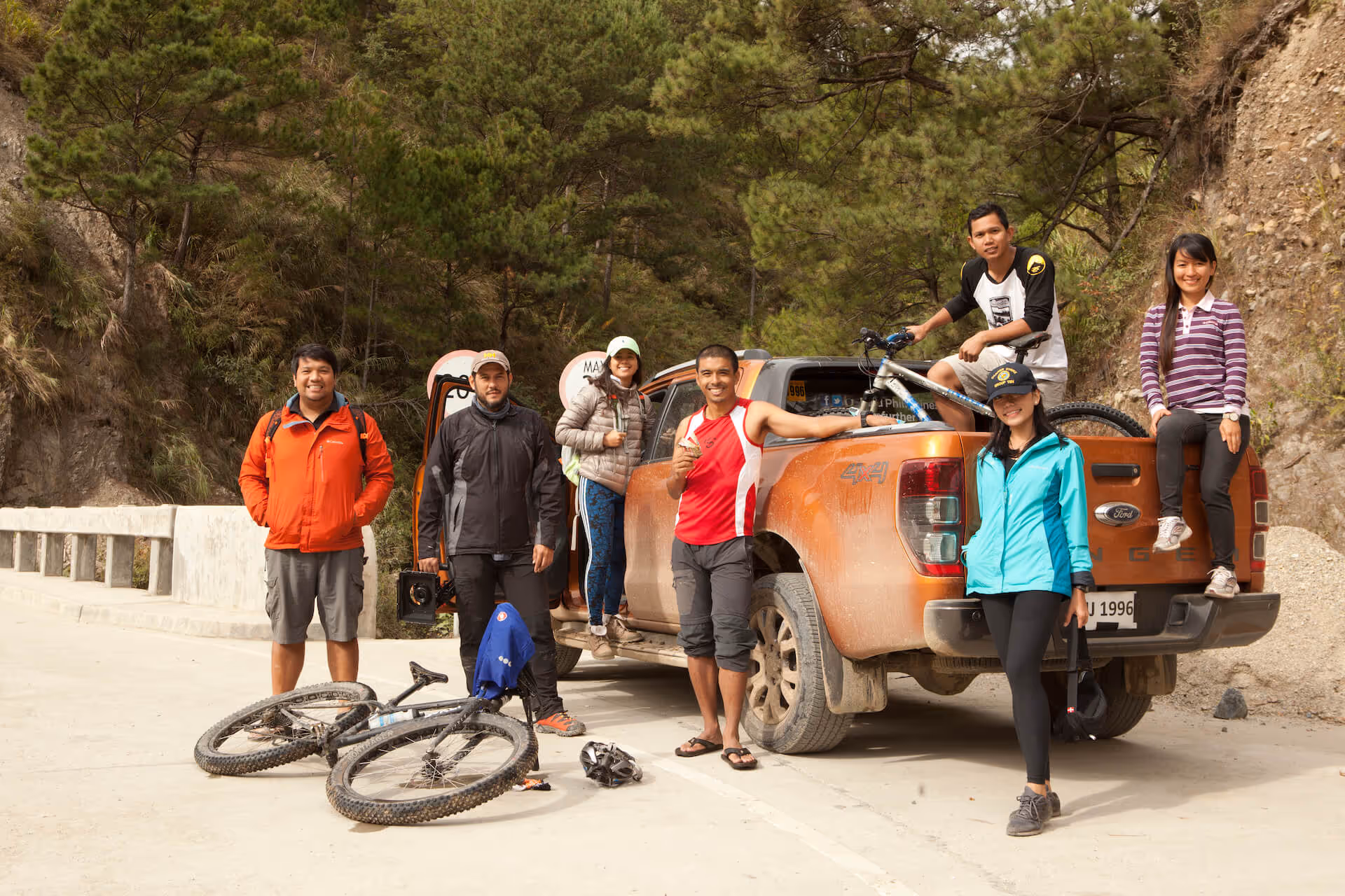
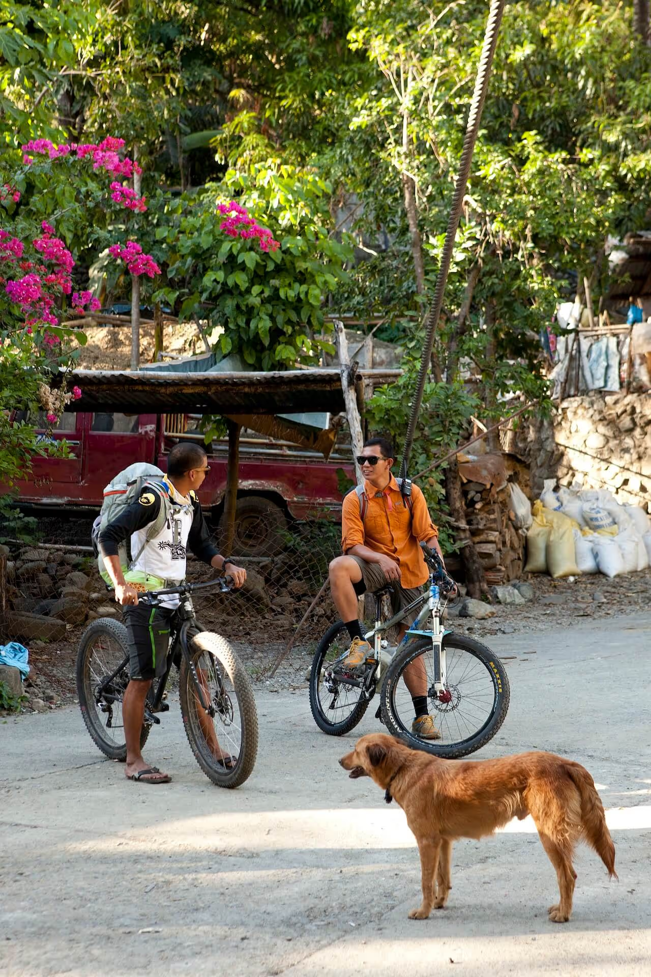
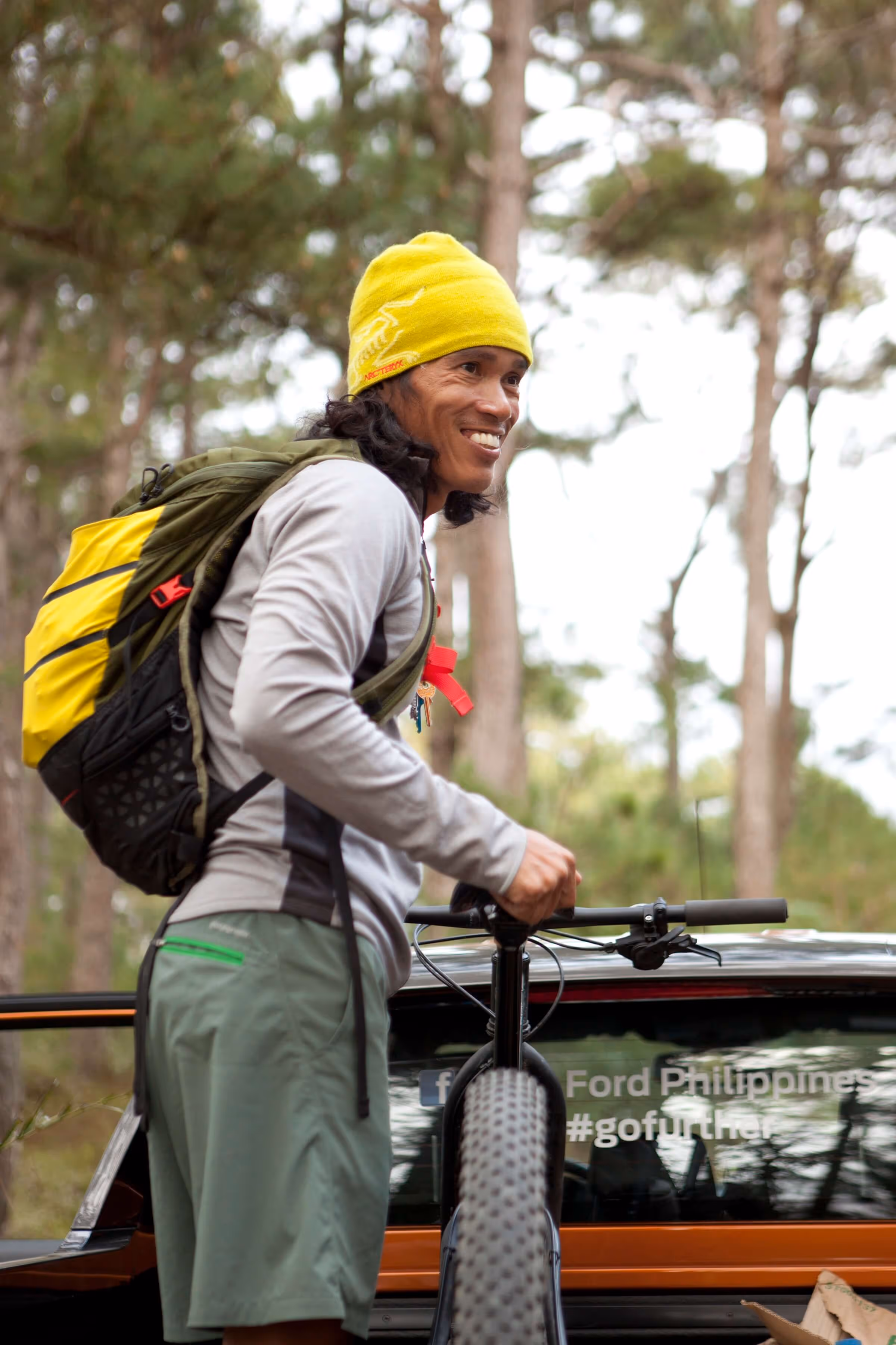
After traversing a heavily trafficked Baguio, we met the CCT team—JP Alipio, Ruel Trias, Thumbie Remigio, and Harry Tanoja—at our rendezvous point: a restaurant called Canto. Lunch was full of warm, hearty mountain food as it was very cold up there. This was our jump-off point; we officially started the expedition after lunch and a little toast-and-talk by JP. We loaded up the cars with bikes and gear, and drove on for an hour to the base camp of Mt. Ugo.
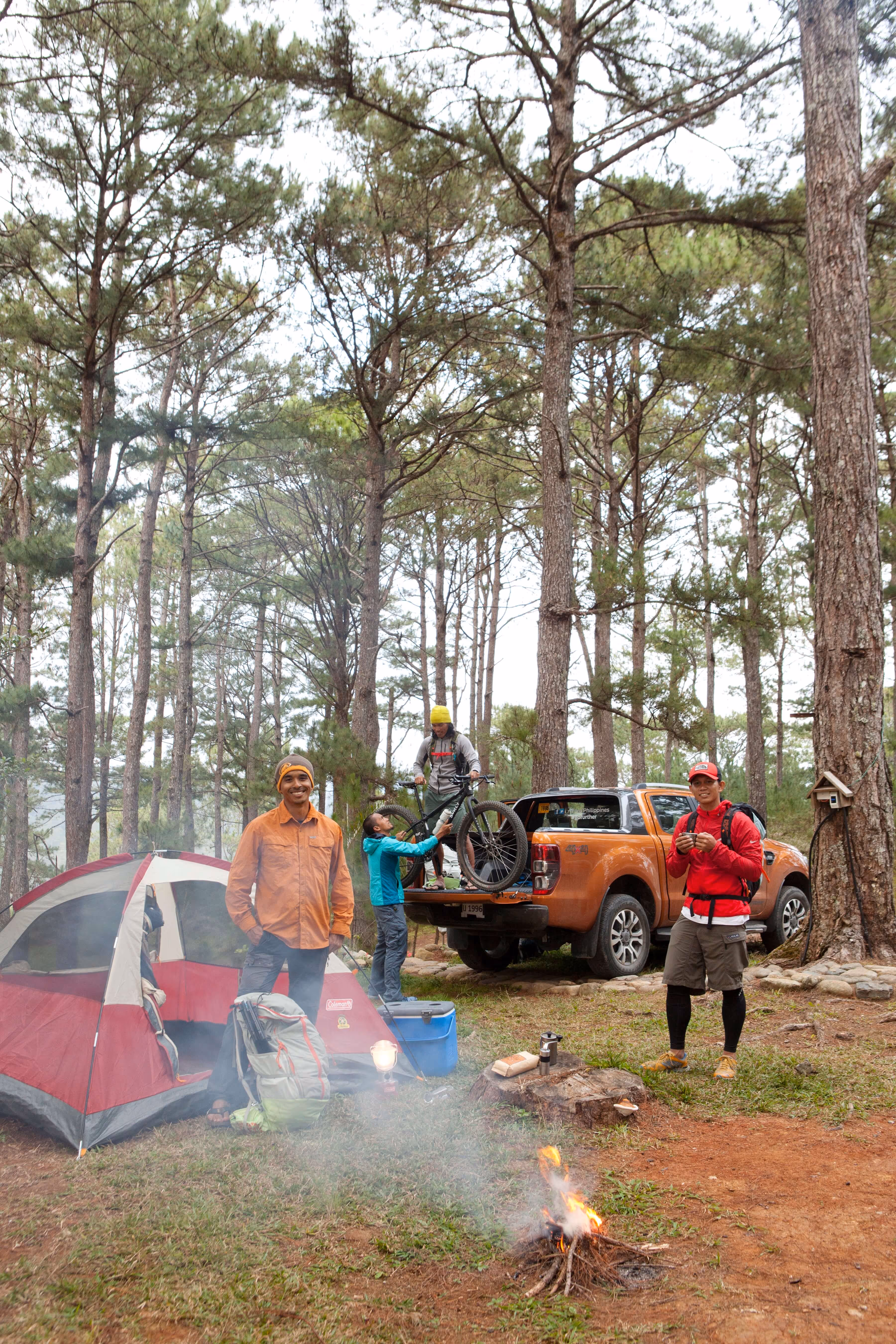
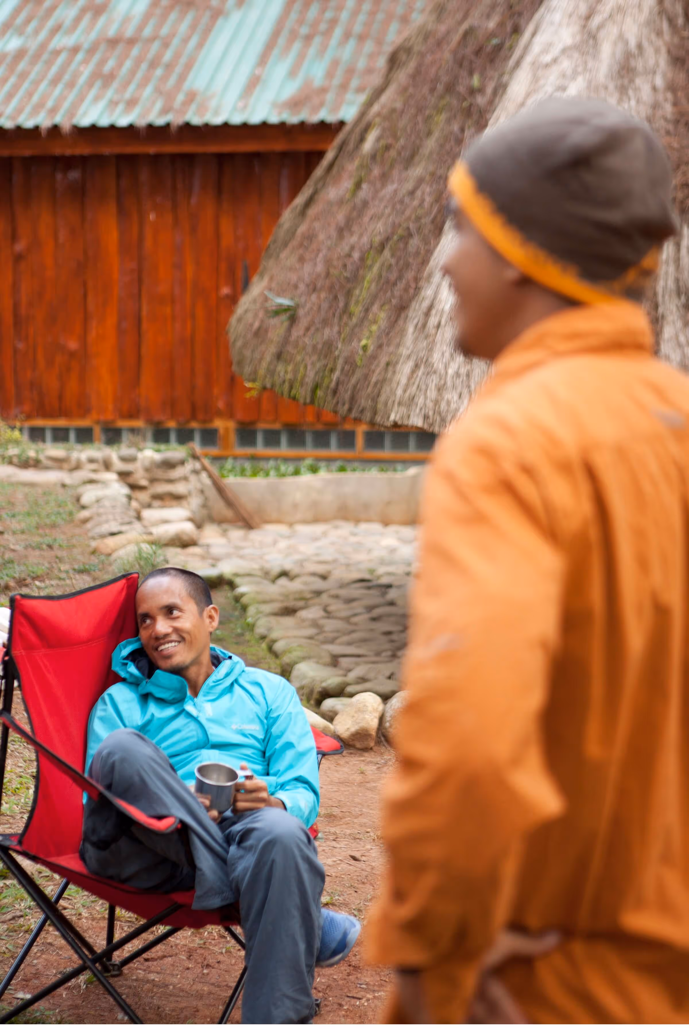
It was about an hour’s trek from the parking to the campsite. When we got there, it was 4:30PM; there was a cool breeze and the sun was starting to set. As we figured out how to pitch our tents, Nayna had managed to produce a fantastic sinigang out of nowhere—it was amazing. It was our first real time as a team, and we seemed like we were gelling fine.
Miguel and I shared a tent that night. We realized that with our gear, only one of us could fit at a time—we did not, ever, want to leave the gear outside because of the dew—so I slept under the stars, which was actually really nice.
The drive from Baguio to Mt. Ugo is very short, but we were constantly stopping for photos. The GRID team was originally worried that we’d be too slow for a CCT team full of mountain athletes, and that they’d be in a hurry to get to the next place… but it was actually the opposite. If they saw a landscape they liked, they’d stop and take pictures, too. It was only our first day, but we knew this was going to be cool: we’re going to snap photos, take our time, and have fun with it.

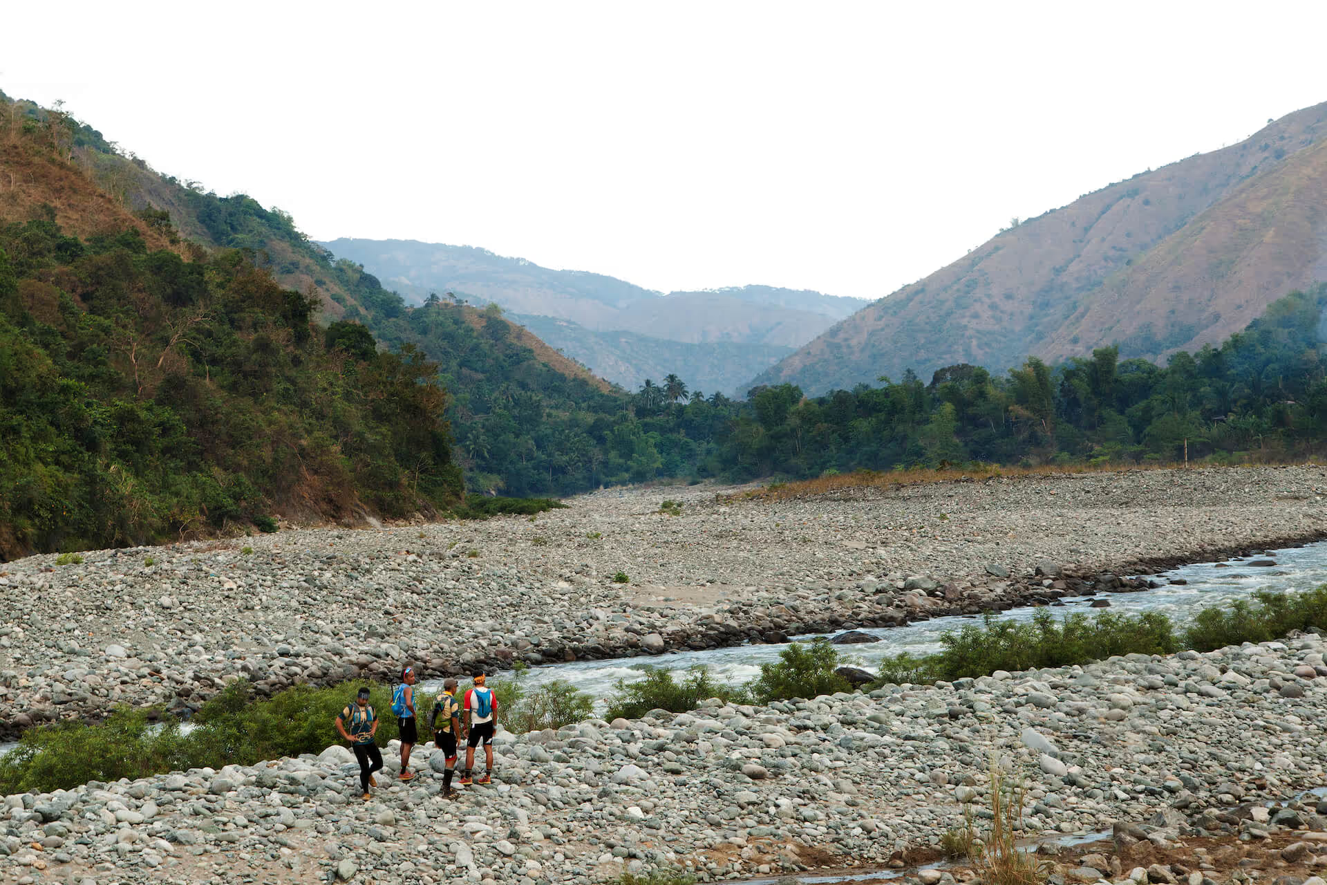
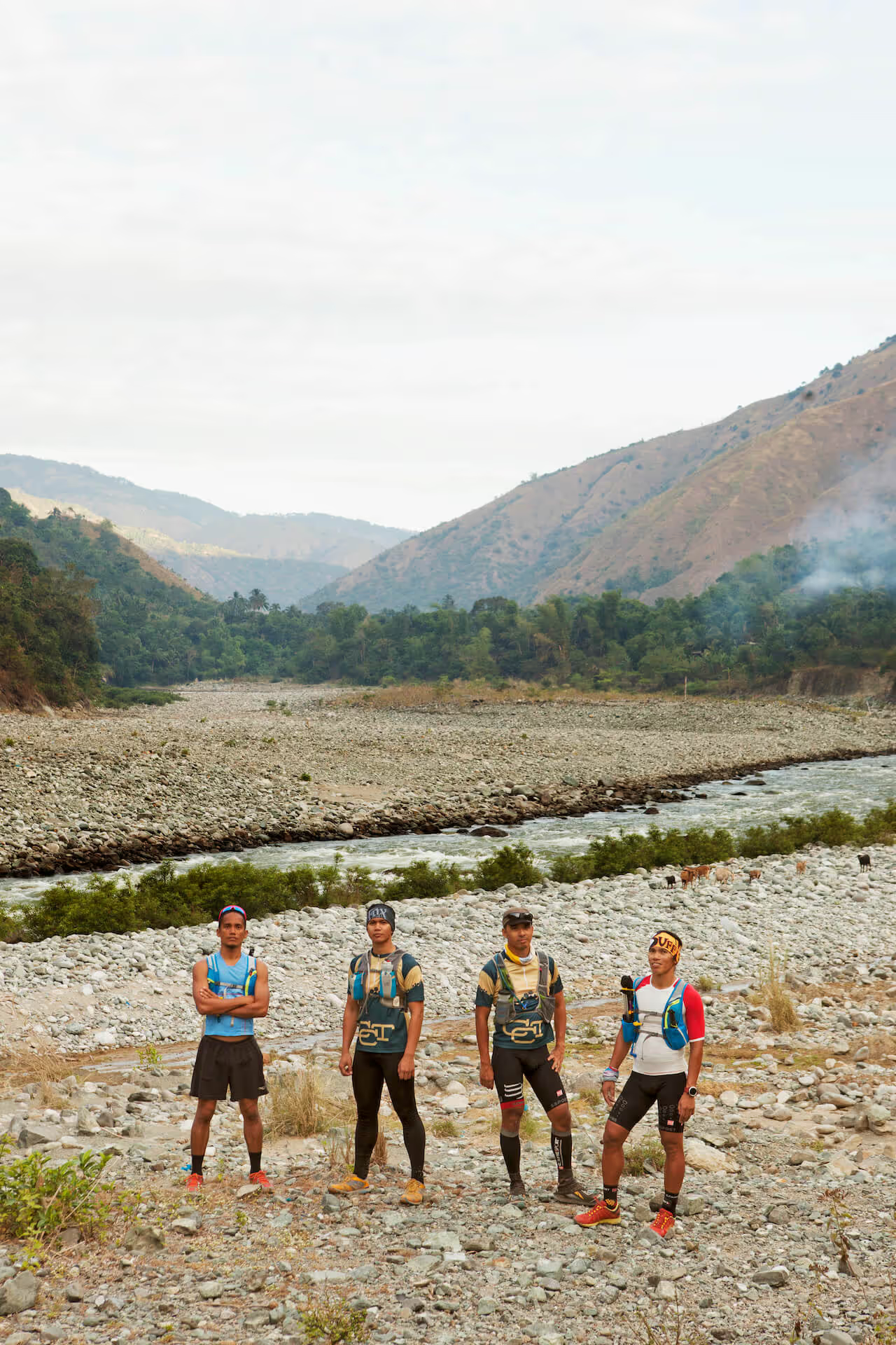
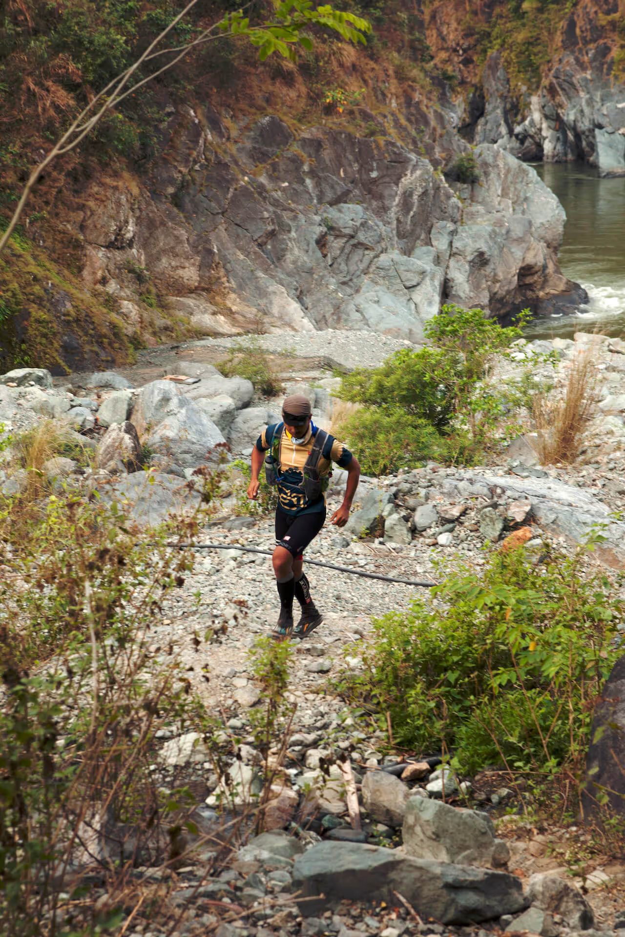
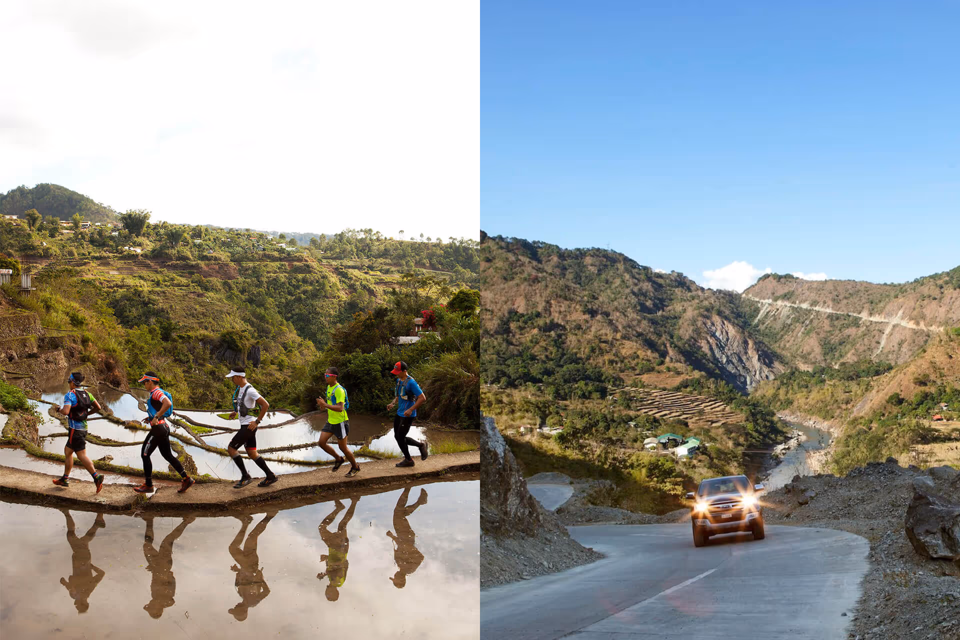
Day Three started at 3AM. By the time I got up, the running team was already half dressed, lacing up, and giving their gear, walking poles, hydration, running tools, and food a final check. JP had prepared a route (the hard way) up Mt. Ugo: we were going to trek to the entry point—6km to the backside of the mountain—do a 1km vertical climb, then up a ridge to the summit and then back down.
There was no way for the GRID team to keep up with these mountain runners, so the plan was to do a sort of leapfrog relay: the runners and I started the 6km trek to the trailhead at around 5 AM, which took about two hours from base camp. It was actually really nice, because as you’re walking through villages and rice terraces, you can see dawn coming up over the mountain ridge. The team also was very nice; walking instead of running so that I could keep up.
At the final bridge, I handed them off to Miguel and Carmen (who had gone ahead with the car) so they could do the vertical climb together. We didn’t want to cramp their style by slowing them down, so after that point at the ridge, Miguel and Carmen would give them GoPros so they could run and film themselves.
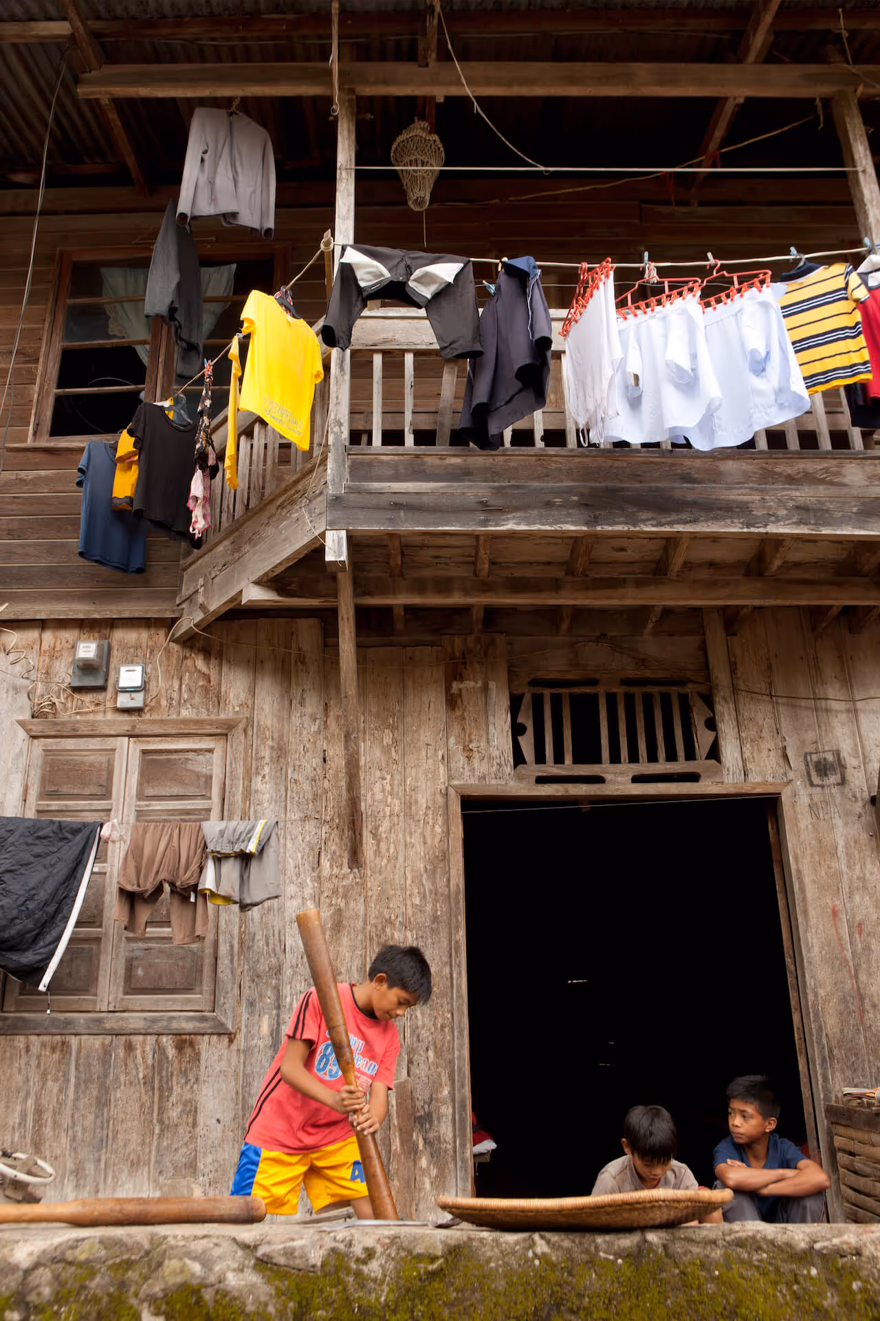
In the meantime, I made my way back to camp. Along the way, I saw villages along the slope, and even passed by little kids on their way to school. One of my walking partners on the trail was a teacher at a local school, and she told me about how she’d walk 2km every day just to get to work.
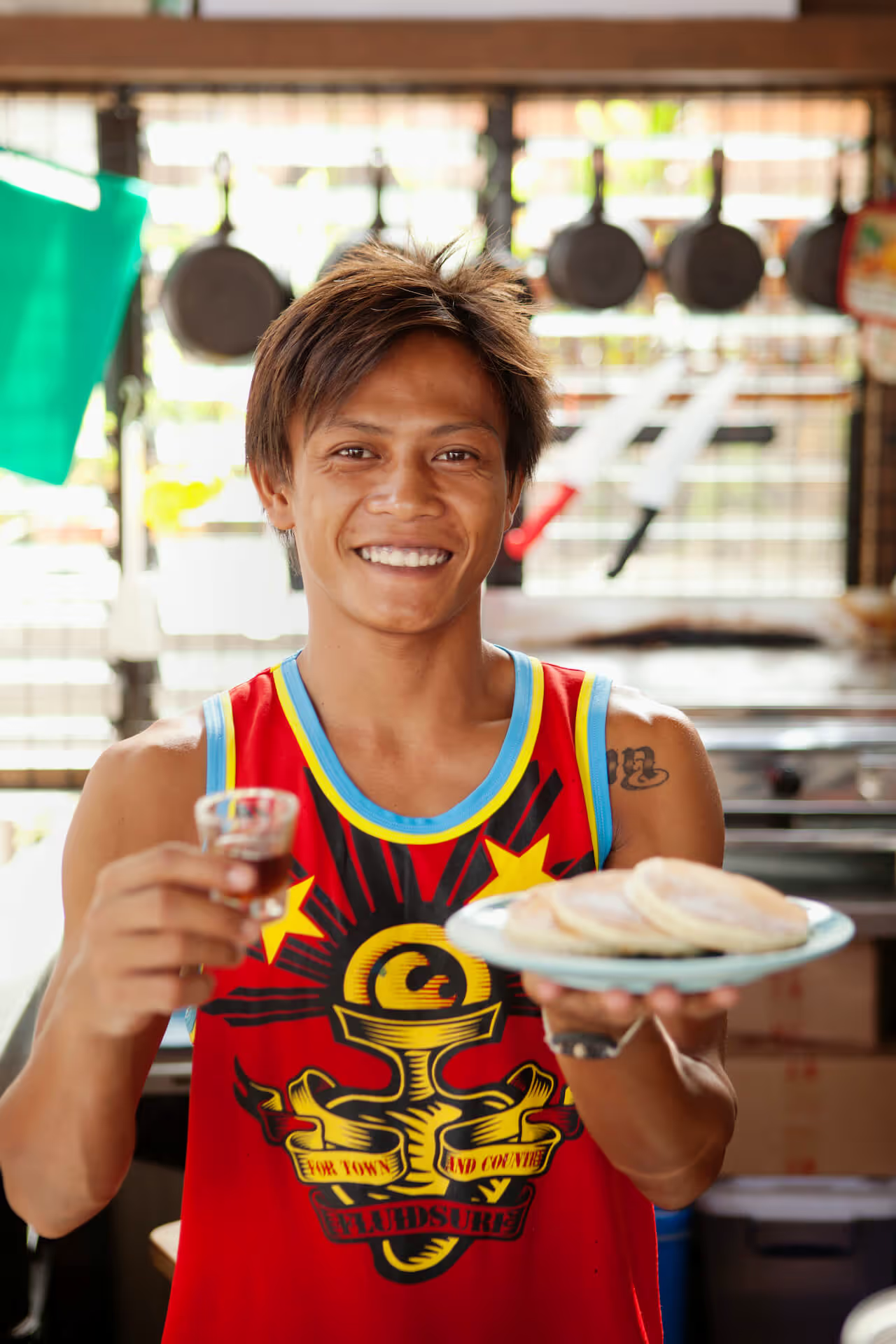
Reaching the base camp, I emerged from the trail to see Nayna holding a silver platter of fried rice and Baguio longanisa. She was a vision.
The run would take the team about 12 hours, so we headed out at around 5PM and drove 15km to the exit point—which was actually the trail’s entry point for other normal human beings. We waited about an hour and a half before they finally exited the trail with huge smiles on their faces. They said they ended up running about 46km, and decided not to summit since they were having too much fun on the ridge. They also apparently stopped for coffee and merienda at a nearby village. Big smiles all around. They had a blast and you could tell.
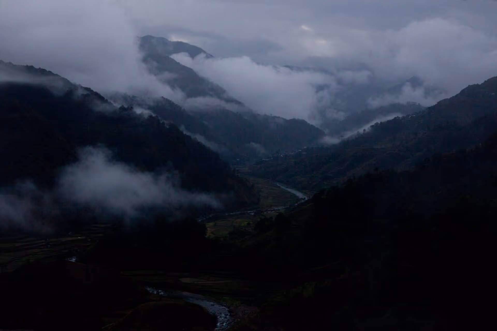
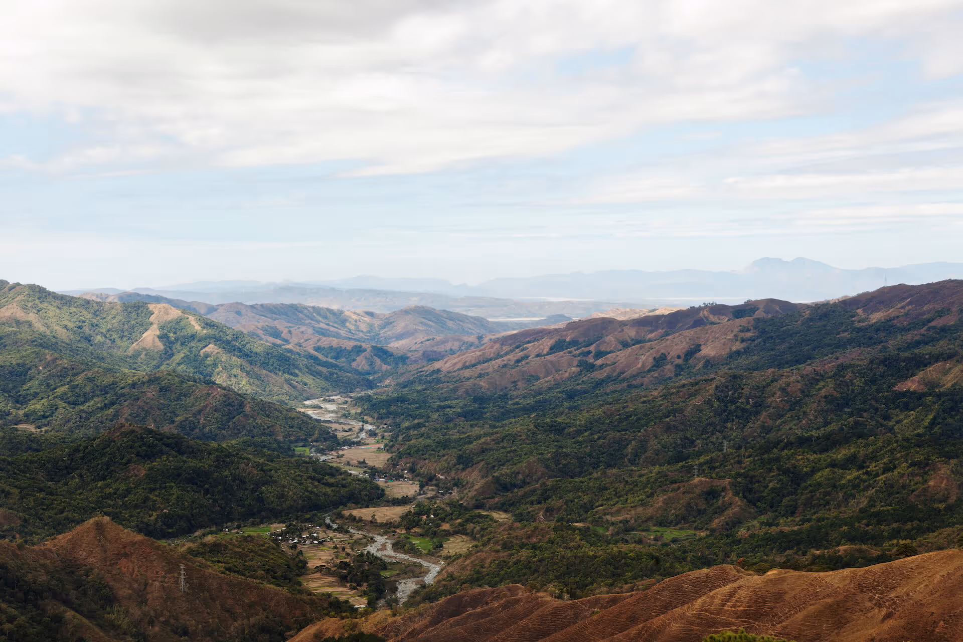
Today, we were driving up to Bontoc through the Halsema Highway, which goes from Baguio to Sagada. It’s a spectacular mountain drive; absolutely stunning despite being the commercial route between Baguio and Sagada.
The drive usually gets fogged in near the peaks, but after you turn the corner, the fog disappears to reveal an incredible view of the mountains. Turn another corner, and you’re surrounded by fog again. There were also trucks and buses barreling down the highway, so it was a little dangerous and we had to alternate driving duties to be safe, but it was a fun day for the drivers.
We ended up stopping at a truck stop restaurant called Loyung’s, which looked and felt right out of a scene of a movie: mist hovered over a slow-boiling pot of coffee, and a jeepney full of old Bontoc locals chewing nganga (betel nut). They spat on the floor as they ate breakfast—it was a great scene.
Bontoc is a very quiet, sleepy town. It also apparently has a 9PM curfew, and they get the town’s old ladies to go out and enforce it, because no one can say no to an old lady with a stick. We stayed at a place called the Walter Clapp Centrum Hotel, which JP said he had stayed in before. It was a little hub for travelers, where all the jeepneys from Sagada stop on the way up and down: you’d welcome a jeepney full of backpackers from Sagada, then they’d unload and transfer to a Manila bus, and vice versa. It was nice; there’s always activity there.
The next morning, three of us confirmed that we couldn’t sleep that night—sleeping horribly even as we finally had beds to lie in. Nayna claimed she had seen a ghost. I thought I heard someone calling out my name, about three or four times throughout the night. I just could not sleep.
The plan for Day Five was to get up really, really early to meet up with Roland Wang, one of JP’s mountain runner friends from town. The runners went on a 10km trail run that started from the town proper, and brought them up to the ridges of the hills around the city. I don’t think they even broke a sweat; they returned looking perfectly fine. We had coffee together, then they took their mountain bikes downhill into the city.
We then made our way to Sagada, arriving there at about 10AM. It was already traffic as people were starting to arrive for the Lunar New Year weekend. I was shocke; I hadn’t been to Sagada in about 15 years, and I didn’t recognize the place at all. The girls went ahead of us and had breakfast at Yoghurt House, before booking us last-minute rooms at St. Joseph’s Resthouse—which had really nice accommodations. We met up at a restaurant called Gaia for lunch.
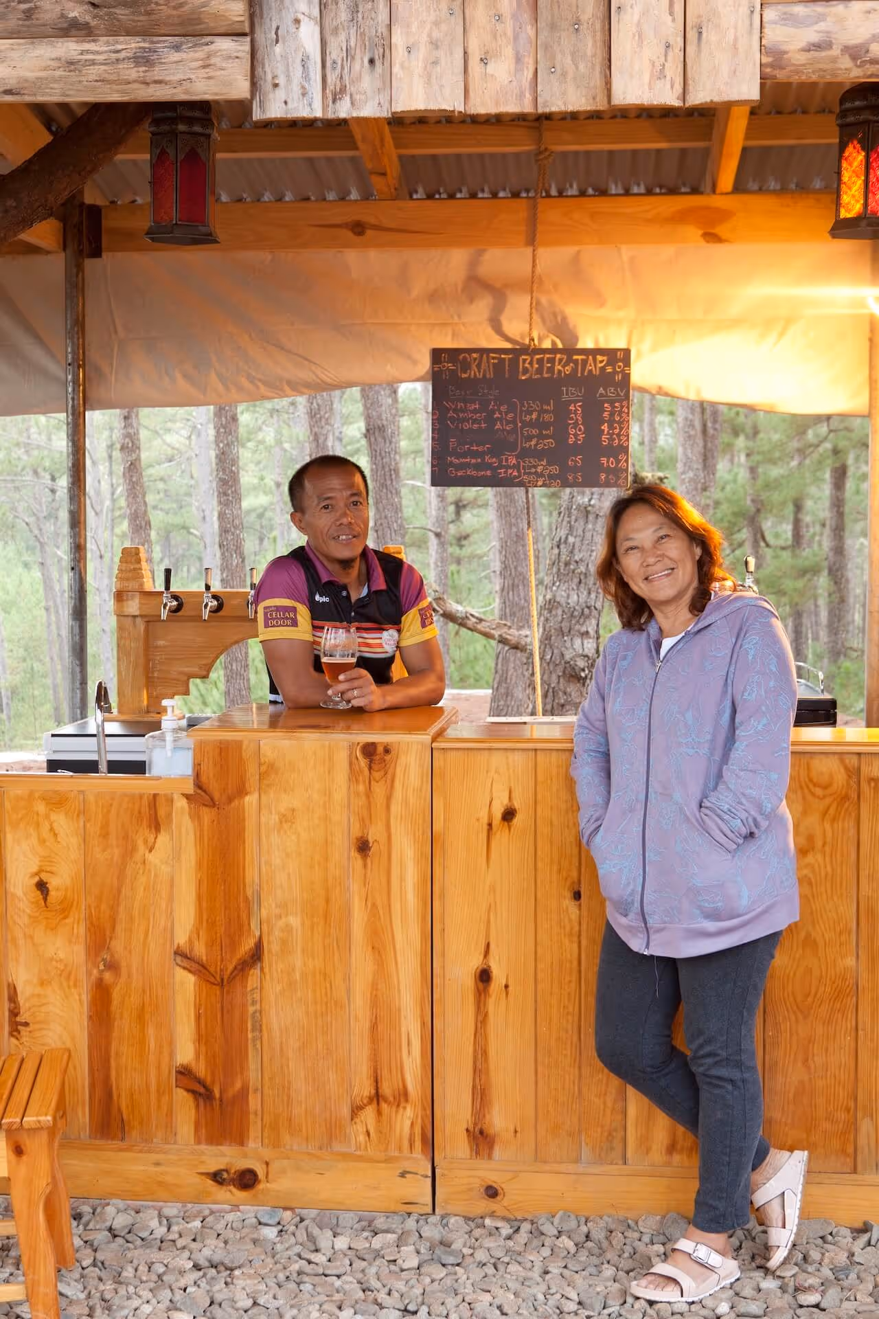
Later, we met up with another friend of the CCT crew’s: Andrew Chinalpan, who also owns Sagada Cellar Door. While we were there, Andrew explained that he’d just built an extension to his home so the town elders had come for a blessing ceremony. We asked if we could film it, but they said no. Instead, they brought out food from the ceremony for us, so we got to eat amazing food like dinuguan and freshly slaughtered pork—eventually getting drunk as the ceremony went on.

We woke up on Day Six to bad news: Thumbie and Ruel had urgent business back in Manila, so they had to go back early. Now it was just the GRID team with JP and Harry, as well as Harry’s wife Bless. It was sad to see them go; we had a lot of fun with them.
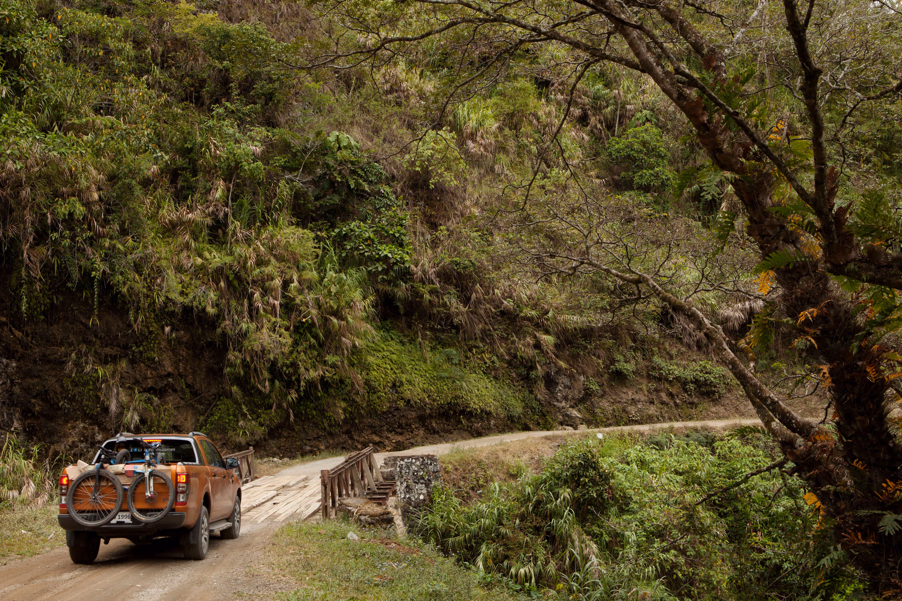
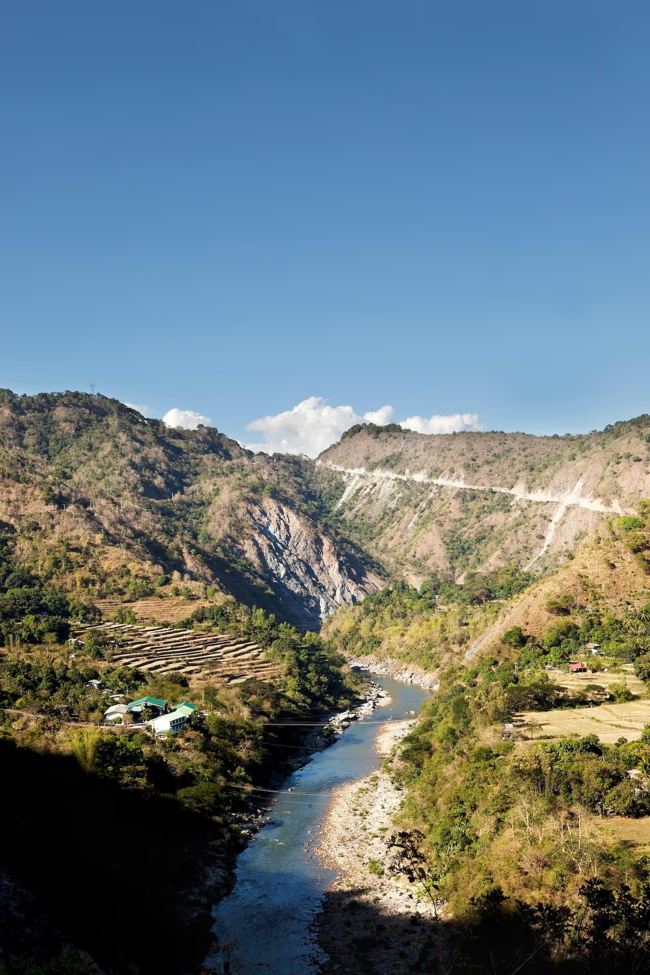
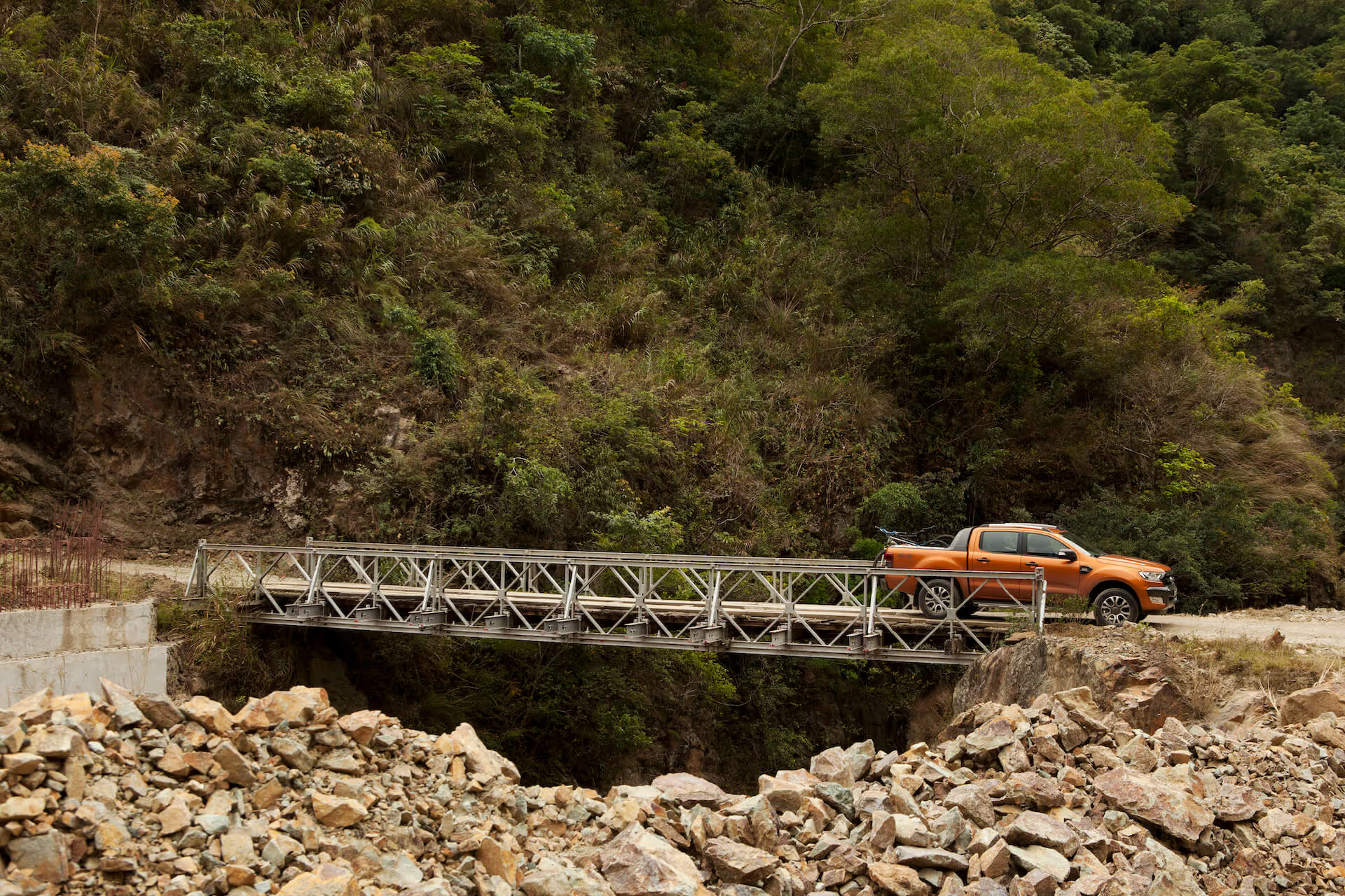
Now we had a big drive ahead: we were concerned with the drive from Sagada to Balbalasang, the national park up north. We’d estimated a six-hour drive and left Sagada at around 9:30AM. It was probably the most amazing bit of road we’ve had the whole trip—it was spectacular. We passed by Tinglayan, the road where Whang-od lives, and learned that JP actually lived in one of the villages near her as part of his National Geographic study. I remember his voice coming on the radio to say, “Guys, through these villages, if a pig or chicken or dog crosses, you break. If you kill the pig or chicken or dog, we will have trouble.” We never fully got an explanation for that.
It was a great day for driving, but because we kept stopping the cars to film—and stopping to buy coffee and weaves from one of the villages—we weren’t going to make it to Balbalasang National Park. It was getting dark, so we had to stop at Balbalan, about an hour and a half away from our target location. Again, JP saved us: he knew a government-run mountain lodge we could stay in there. And again, Nayna did her magic, feeding us pork and couscous.
Missing our target and sleeping in Balbalan really changed the rest of the trip. It had been raining heavily the past two days, so the roads were really dark. We learned that with these conditions, there was no way we’d make it to Laoag, so we decided that we would cap our trip off at Vigan.
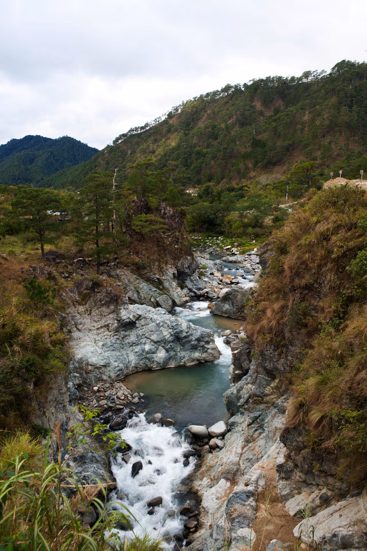
We left Balbalan at 6AM. Now, we were on an even more spectacular road—because nobody passes here. It’s not a commercially viable route anywhere; just one that passes through a national park.
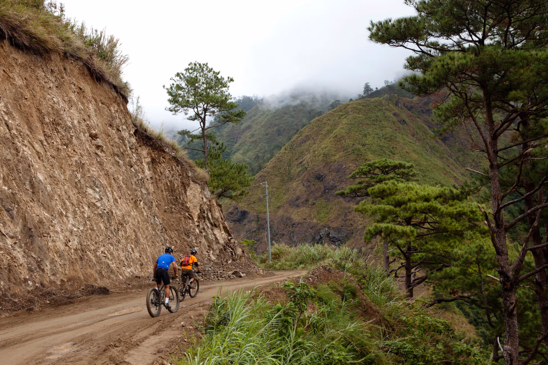
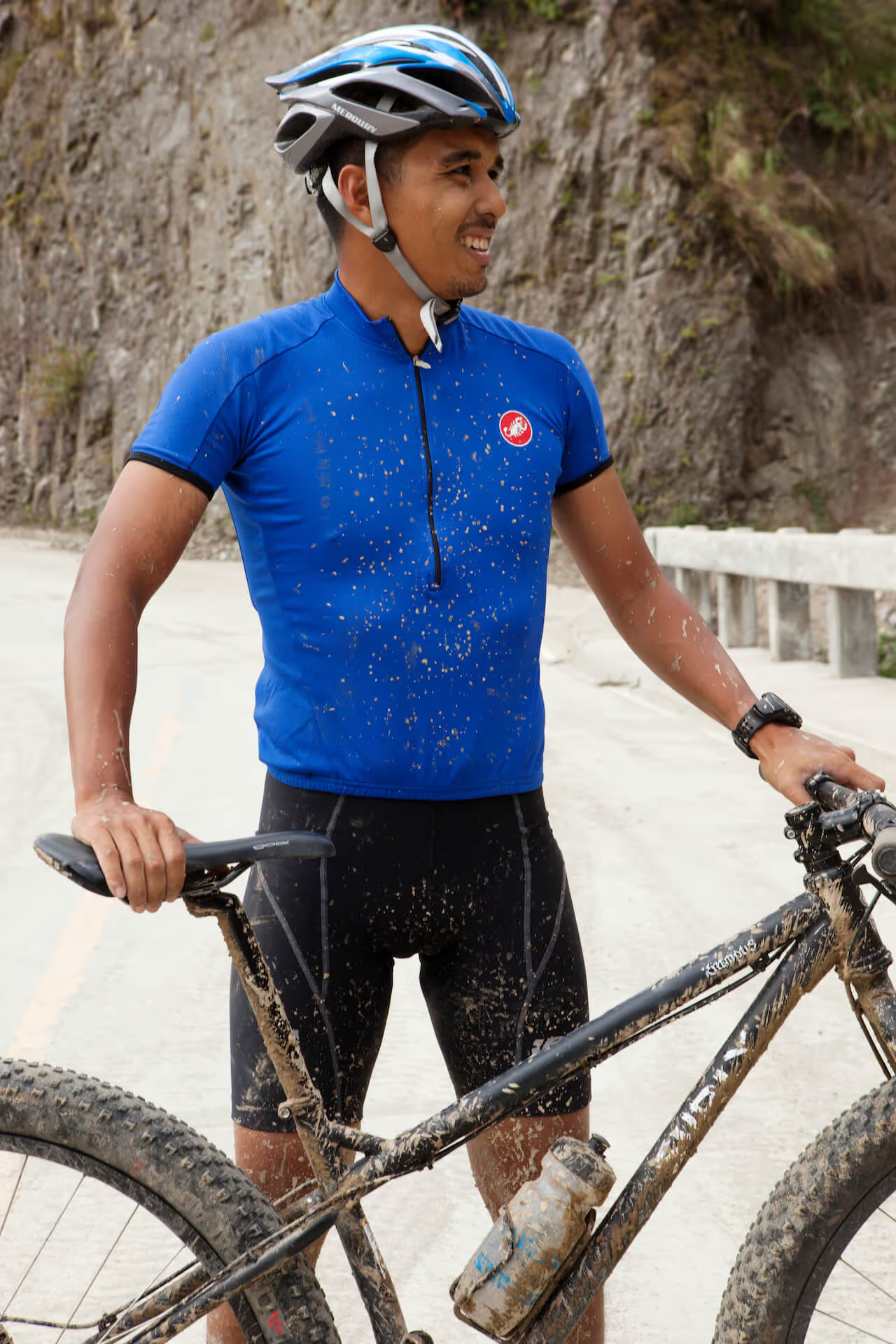
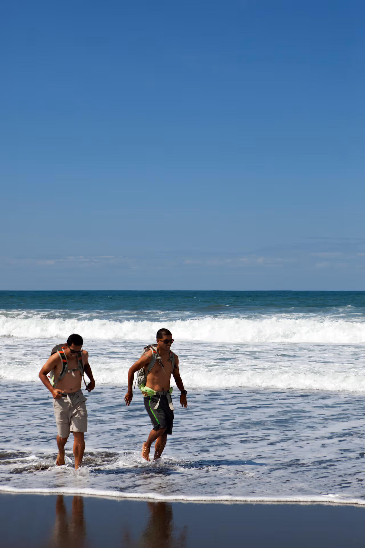
JP and Harry wanted to ride their mountain bikes down a 16km downhill run, so we stopped at the top of the road and they got on their bikes. We strapped them with GoPros (thank you very much, LifeProof) and off they went. We shot ahead as we tried to film them, but they had the biggest, muddiest smiles I’ve ever seen on anybody by the time we met back up. We stopped at a creek by the road, and they jumped in to wash off all the mud.
There was one point in the trip where we knew it was winding down: as we were coming out of Balbalasang National Park, we came across a brand new view deck that overlooks the park. We thought we saw a bird of prey—it might have been a Philippine eagle, or a serpent eagle. It was nice to see the sky.
We stopped there, and Nayna broke out her emergency adobo supply as we sat watching the clouds. From here, we knew it would only be a downhill road to Abra, and then to Vigan. We finally took a group picture, for the first time in a week.
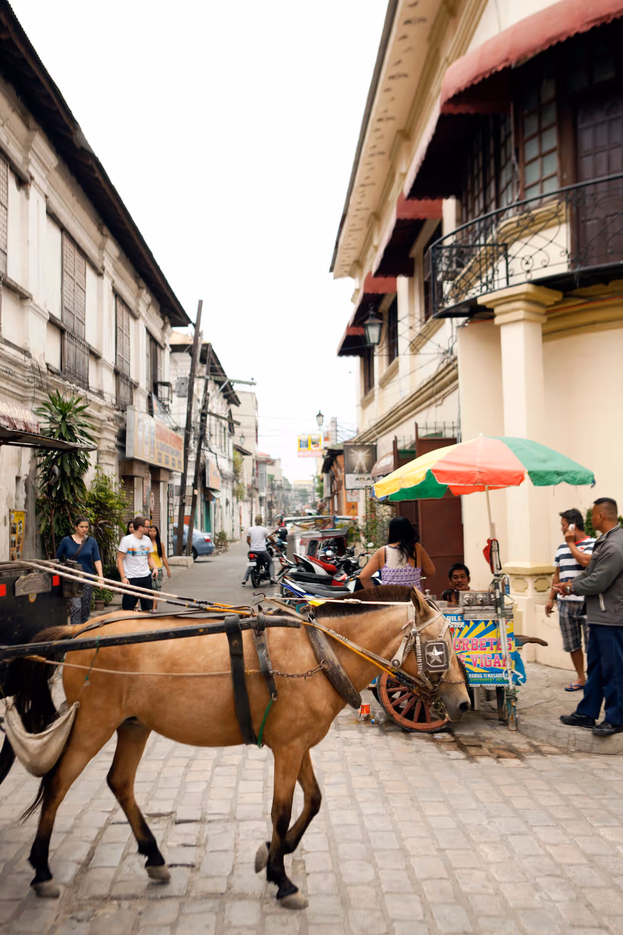
After three or four hours of driving, our first stop in Vigan was lunch at Jollibee—JP wasn’t happy about that. We hadn’t realized that it was the middle of a town fiesta, and that we’d driven into a Vigan bursting at the seams with kids, marching bands, and parades. We dumped our gear at the Mestizo Lodge (EIC Kristine was able to book rooms for us last-minute) and went out, walking the streets of Vigan just as the sun was setting.
JP told us that the route we traced actually follows the ancient trading routes, where the mountain people would come down with gold, sculptures, minerals, and wood in exchange for food, weaving, and shells. It’s still the commercial route these days, and that’s how Vigan was built: trading with the mountain tribes. It was an interesting way to end this trip.
On our eighth and last day, it was a quick shot down to La Union from Vigan. After about three hours, we found ourselves back in El Union, just as we were before everything started (albeit a little muddier). Everyone who saw the pick-up asked us, “Whoa, where’d you go?” There was mud up to the roof, collected over six provinces.
It was only fitting that we ended our trip in the coastal city of Vigan and the town of San Juan in La Union: these were busy towns filled with fellow travelers, but it wasn’t quite like Metro Manila. There was time for us to decompress, like divers who had gone deep and now have to slowly make their way back to the surface.
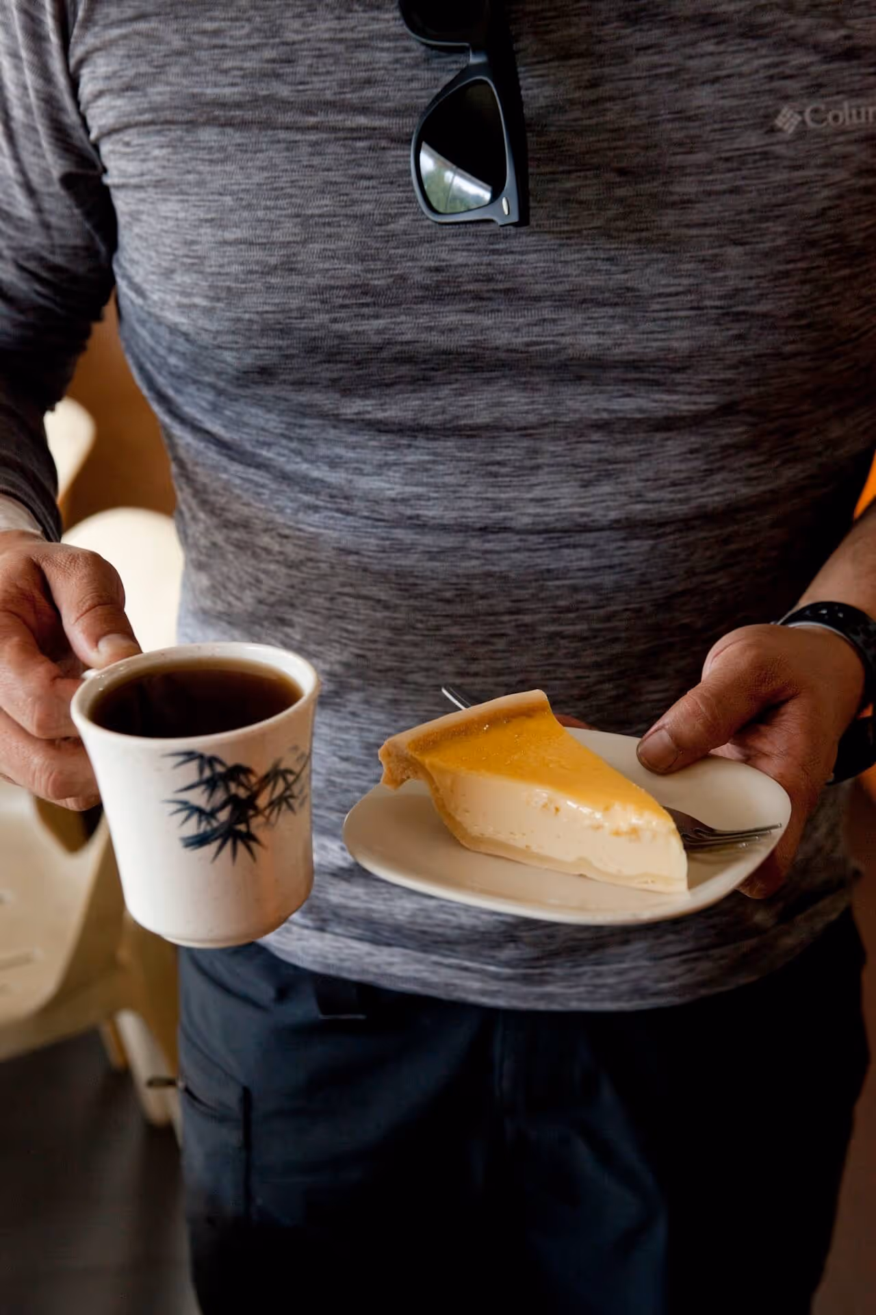
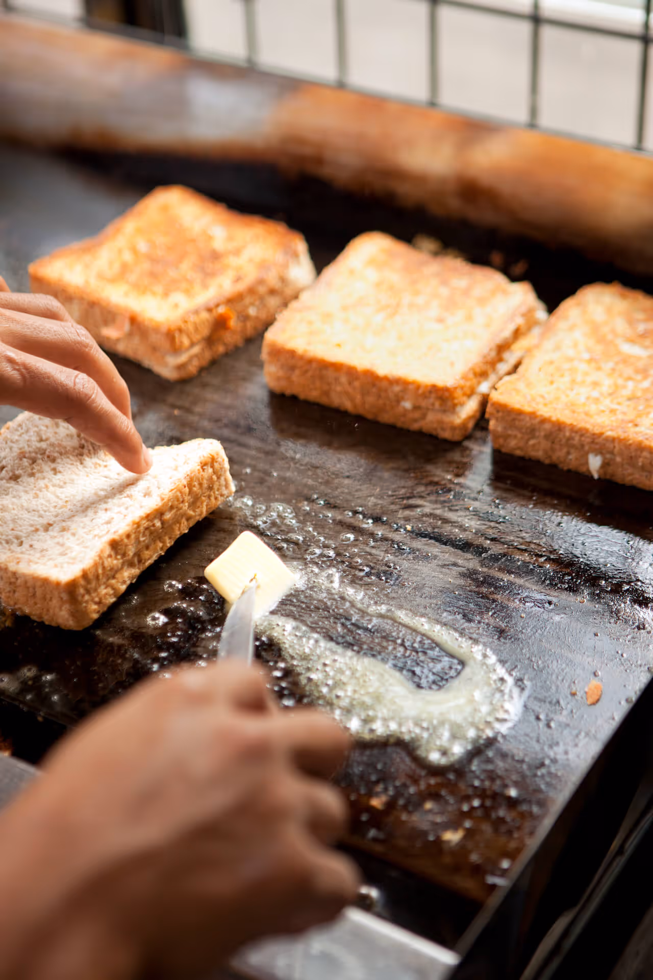
We sat down and had a coffee and grilled cheese sandwiches; it was nice to end it how we started. Now we had the time to tell stories about everything we had experienced.
When I first told our photographer Miguel about this expedition up North, he immediately volunteered to join. He said it was everything he had wanted to do: a long road trip with camping and traversing mountain passes and rivers. But in the days leading up to the departure, he started to feel anxious: he wanted to be the “outdoorsy” type, but aside from long bike rides in the afternoon, he hadn’t been. It was a feeling echoed by the rest of the GRID team; inasmuch as we all feel like travelers and resonate with the idea of adventure, it’s hard not to feel some trepidation at the word “expedition.”
We agreed that the first few days were the toughest; Miguel recounted his first “holy shit” moment: the feeling of lying under the stars, listening to the Agno river beside him, looking at the mountain range that surrounded him. We since had many more of those moments. We had our taste of adventure. But in those final closing hours, we felt calm and satisfied.
We know there will be more adventures like these, and whether or not that anxiety comes back, we’ll know that we’ll be coming along for the ride.


Our country is full of mountains, valleys, forests, and beaches. The best—and perhaps only—way to truly connect to this land is to go out there and witness the power and beauty of nature.
Read More >>


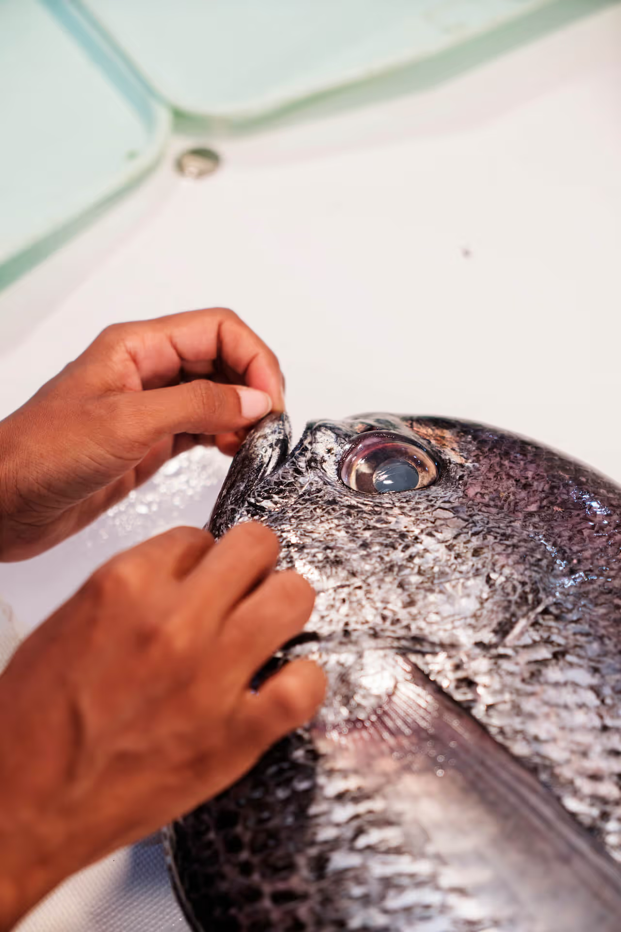
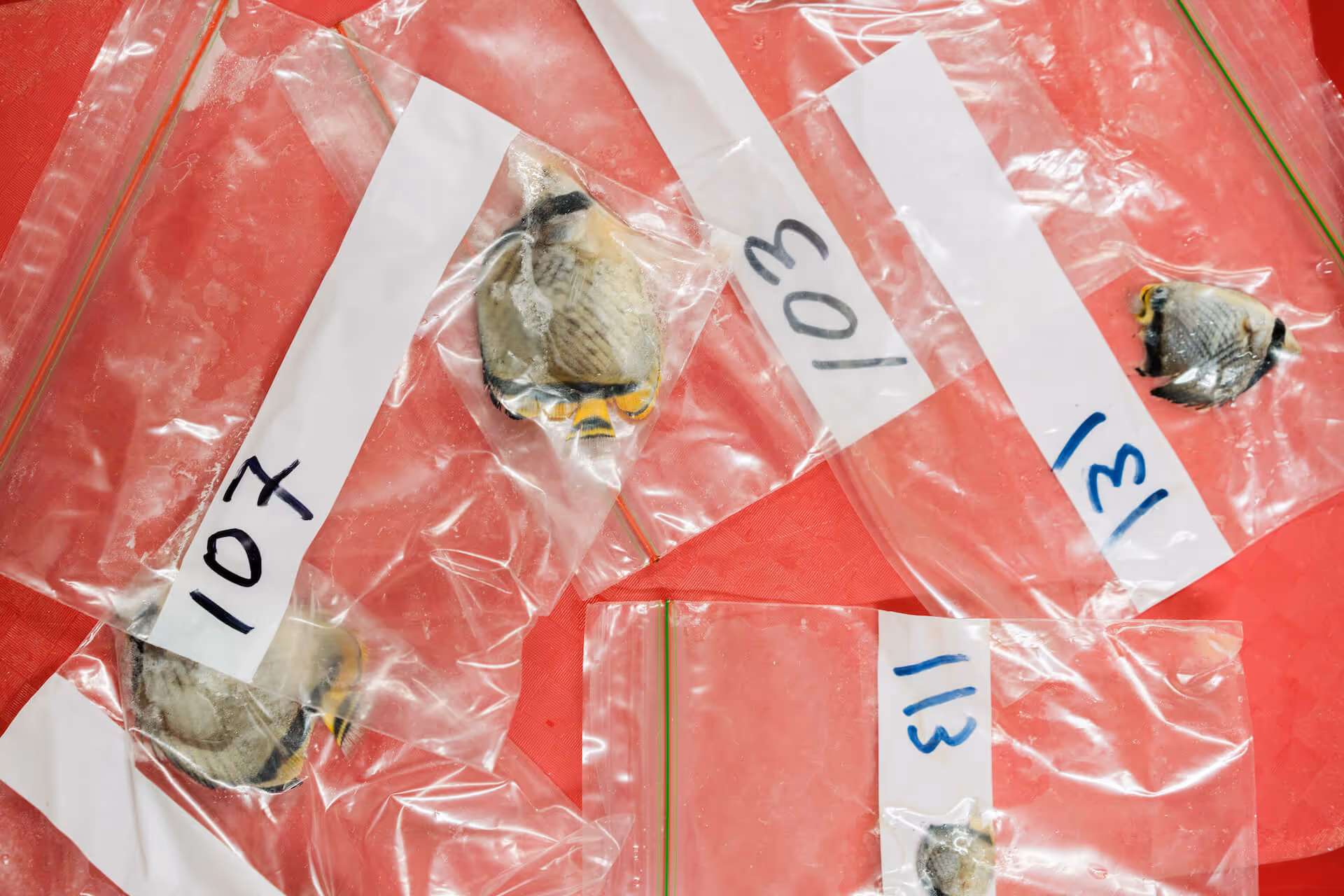
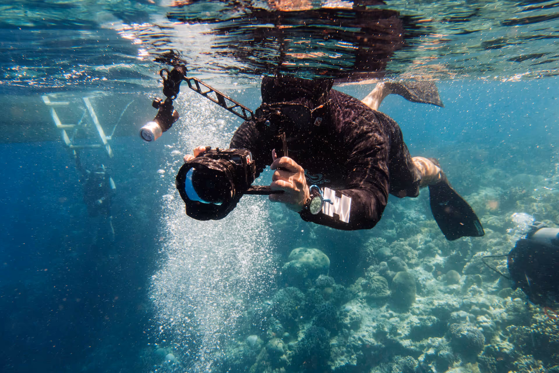
Scientists, conservationists, travel industry professionals, fishermen, and travelers speak to us about the state of our oceans.
Read More >>